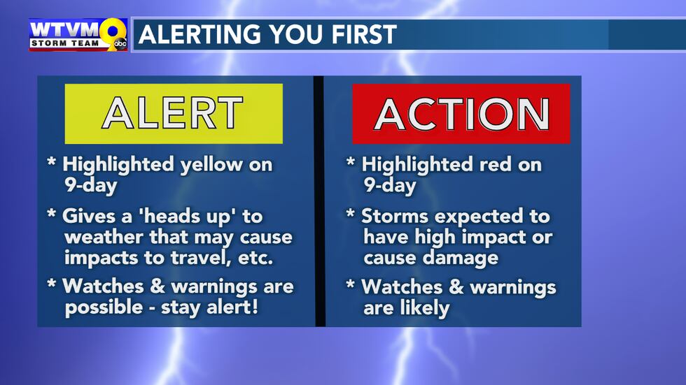
COLUMBUS, Ga. (WTVM) - We’ve been warning of you about Friday’s storms all week. There is an Alert Center Action Day.
The Storm Prediction Center’s severe outlook hasn’t changed for Friday. Our entire area in a level 3, enhanced risk. That doesn’t mean everyone in our area will see severe weather of course. However, scattered severe storms are in the forecast within the risk area.
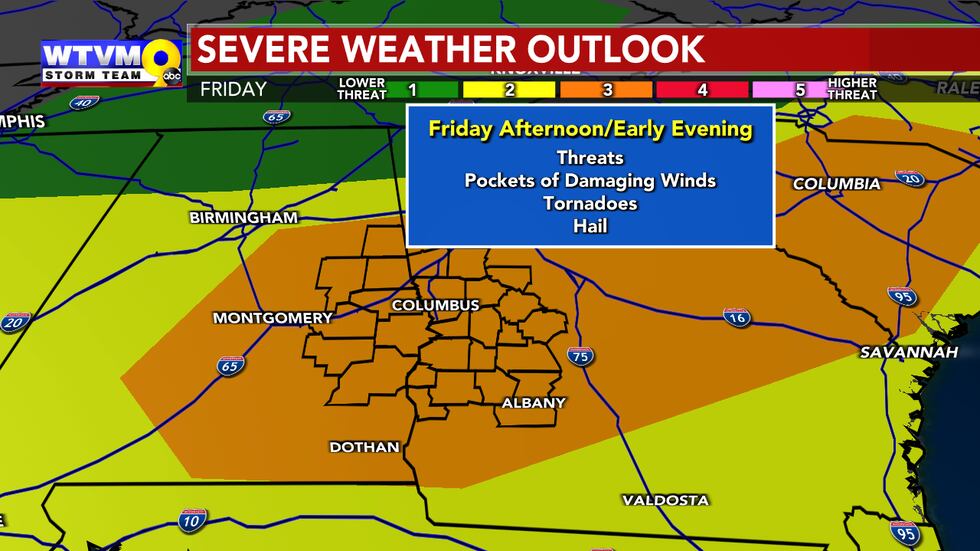
THREATS:
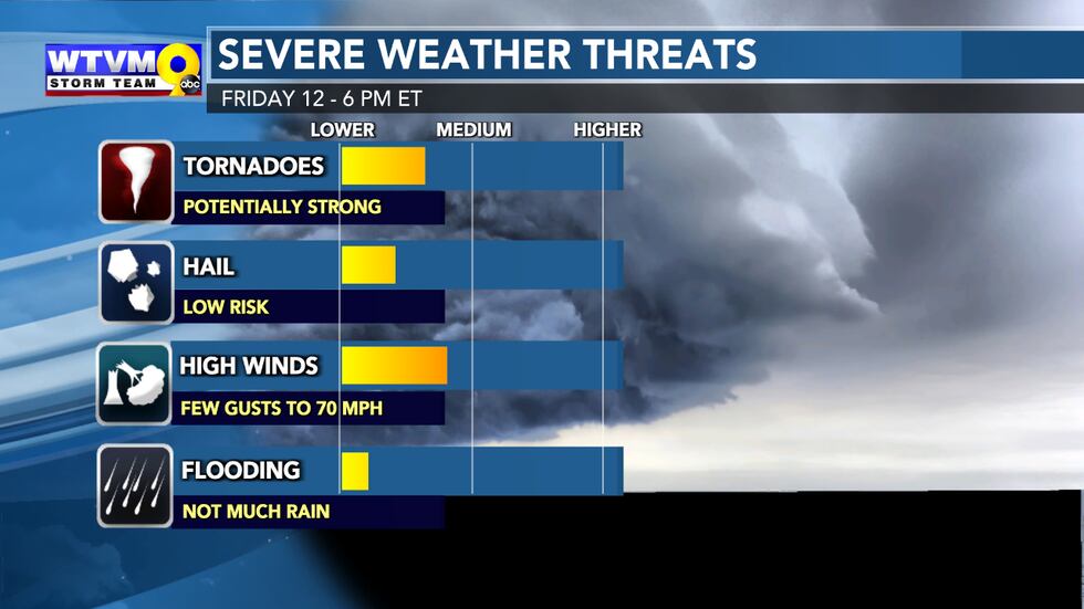
All types of severe weather are possible with this system, including pockets of damaging winds, tornadoes (some of which could be strong) and even up to quarter-sized hail. If a warning is issued for your area, seek immediate shelter in a sturdy structure on the lowest level. It should be an interior room without windows like a bathroom or closet.
TIMING:
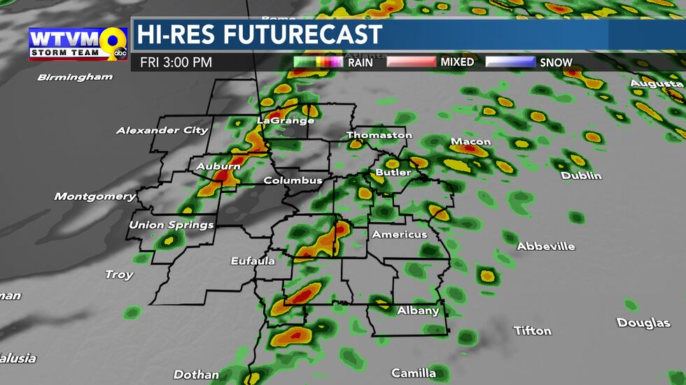
The severe weather threat appears to be confined to the afternoon hours, from roughly 12 to 6 PM ET. However, spotty showers and a few downpours will start rolling in around daybreak and mid morning. The afternoon hours will be the warmest (60s to even near 70 in spots south) and feature the best chance of atmospheric instability. That could give the strongest storms a little more fuel as they move into our area.
HOW DOES THIS SYSTEM COMPARE TO TUESDAY’S STORM?
While gusts of 35-45 mph are a good possibility for a brief time as this system swings through during the afternoon and early evening, the non-thunderstorm winds shouldn’t be quite as strong as Tuesday. Some power outages are possible.
Rain won’t be as heavy, widespread or long lasting. Most of us in the Chattahoochee Valley received 2 to 5 inches of rainfall Monday night and Tuesday. A half inch of rain or less is expected this go around. Any severe storms should be more spaced out and localized.
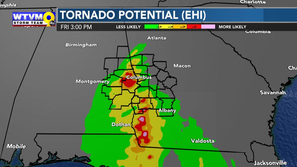
The tornado risk is farther north with this system, however, which would place more of Georgia and Alabama in the potential crosshairs.
COULD WE COMPLETELY MISS OUT?
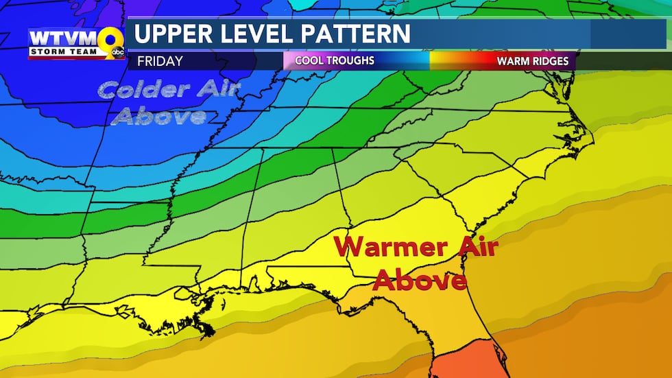
Sure, severe weather is never a guarantee. One of the limiting factors with this particular system is that the air above our heads may be a little too warm. Storms ideally need colder air up above. That may help to keep the storms a little tamer. However, with many of the other severe weather ingredients in place like wind shear and a warmer surface, we have the respect the threat and be ready just in case. All this to say, confidence in the forecast is lower than Tuesday while the overall risk may be higher.
STORM PREPS:
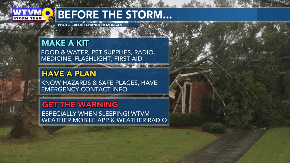
Do your storm preps early before the storms roll through instead of when warnings are issued. This goes for anytime in severe weather season. Make sure you and your family have a plan when the weather turns rough. Our severe weather season usually lasts through early May. If you live in a mobile home or trailer, you need to allow for extra time to take appropriate action.
Copyright 2024 WTVM. All rights reserved.
"severe" - Google News
January 11, 2024 at 08:31PM
https://ift.tt/vlDasj0
Alert Center Action Day Friday: What to expect with the severe weather threat - WTVM
"severe" - Google News
https://ift.tt/8bGILDV
Shoes Man Tutorial
Pos News Update
Meme Update
Korean Entertainment News
Japan News Update
Bagikan Berita Ini


0 Response to "Alert Center Action Day Friday: What to expect with the severe weather threat - WTVM"
Post a Comment