
A day with some severe thunderstorm warnings is ahead. We'll have things cranking as we get into the afternoon and early evening and while we'll quiet down a little bit as we get into the work week, we'll still see showers and storms through mid week.
It's been dry, so this is a good thing to have rounds of rain to soak the ground. The ground absorbs it, and then gets some more. You'll notice a big difference in the grass come about Tuesday and Wednesday.
From there, things will remain potentially unsettled as we head into the 4th of July weekend. Read on for more of that, and at end, I'm happy to announce my on-camera return!
Today - An Active Day of Weather
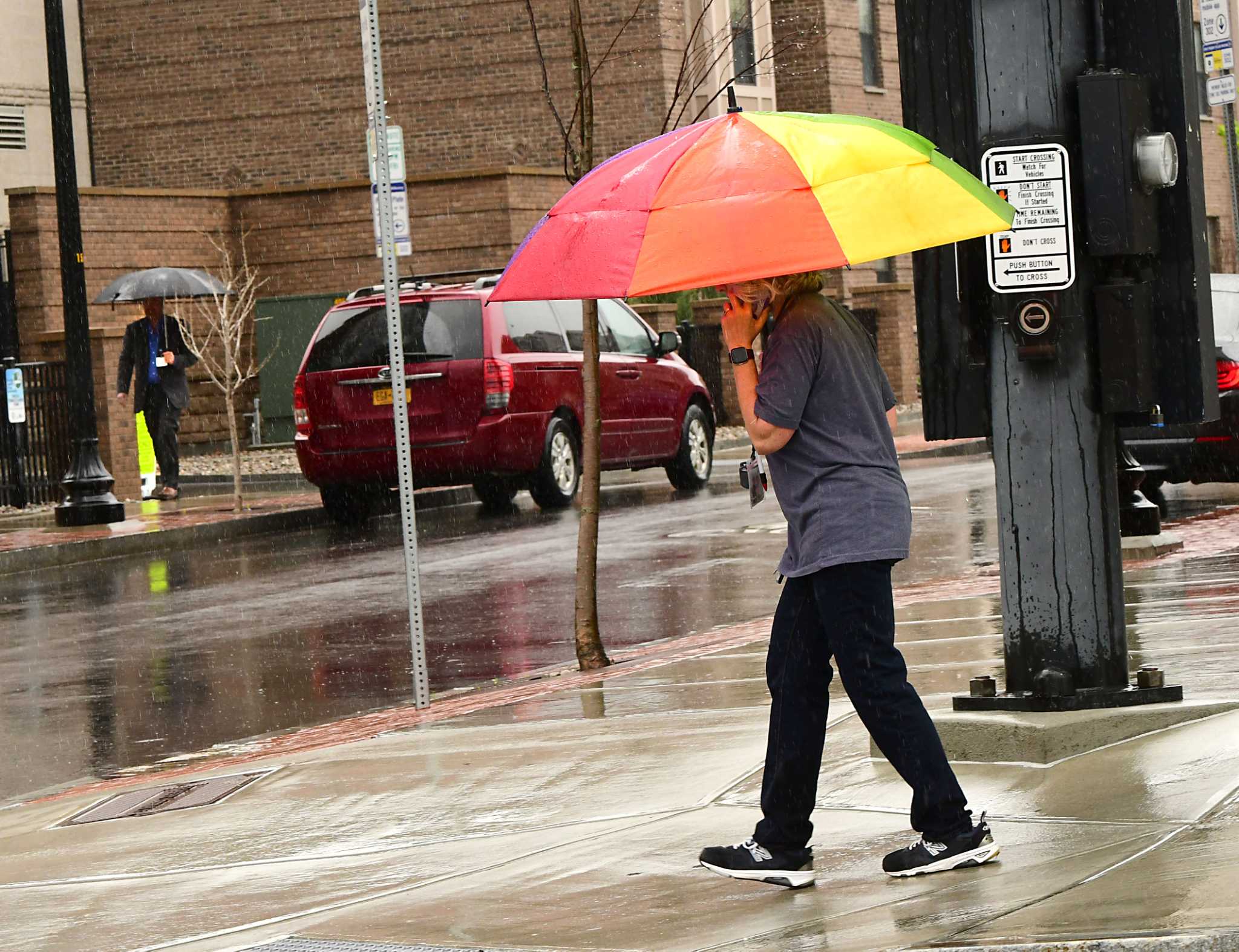
It's a little soupy out there as we get started with the day. We've patchy fog, some of which is dense, along with low clouds and a batch of dying showers to our west. We even have a little breeze from the south, but it's not enough to mix the fog out.
Temperatures are in the upper 50s to the middle 60s with dewpoint temperatures not lagging too far behind as we sit in between the warm front that brought us yesterday's rains and the cold front that will get things cranking today.
That front, along with energy overhead, will bring some rather nasty storms to our area today. While the better opportunity for said storms is south and east of Albany, pretty much everyone is on the hook this afternoon and early evening.
We won't have much sun today, which is a good thing in the sense that it will at least not add to our severe weather "ammunition". As it is, we'll still have plenty of instability around with the higher dewpoints. We'll see showers and storms starting to fire up to our west later this morning; they'll continue to develop this afternoon as energy gradually shifts east. The threats from today's storms will be strong winds, locally heavy rain and hail. For what it's worth, highs will be in the 70s and low 80s.
Showers and storms will be winding down through and after dinnertime tonight, but we're not done with showers and storms for this week.
It'll stay mild and muggy overnight with patchy dense fog and lows about like what we're seeing now, 50s to mid 60s.
Tomorrow through Wednesday
Part of our upper level energy today will continue to poke us through mid week. A storm aloft will linger along the New England coast through Wednesday, and it'll keep showers and storms in the forecast.
Tomorrow will start off quietly but as we get into some heating, that cold air overhead will get the clouds going to start. Those clouds will continue to develop into scattered showers and thunderstorms. I'd not be surprised if we had a warning or 2 tomorrow, but things won't be as widespread nor as strong as today. We'll still have some small hail and some gusty wind to deal with, along with a few downpours. The thing about these storms: they'll pop up and not move much once they do.
Highs will top out in the 70s with a couple of low 80s around.
A tad cooler for Tuesday with a few scattered showers and storms once again, coverage looks to be a little less. Perhaps back to better coverage again on Wednesday with an extra shot of energy to help things along as temperatures climb back to the low 80s.
Thursday into the 4th
Our upper level storm will finally get knocked off, that's the good news. The bad news is that what will be knocking it off will be another piece of energy coming down from the north. There are still many details to sort out, like how warm it will get and how many showers and storms will pop up over those days.
As of now, Thursday looks to be the best day of the week.
There will at least be warm air nearby, one of those deals where Syracuse or Utica could be at 90 and Albany could be at 75 on Friday with scattered showers around. For Saturday the 4th, we may have the same type of deal. I'll of course keep you posted.
Welp, it finally happened. I'm back on camera and very excited about a new project! It's called Birdcast: Coast to Coast.
We believe this will engage any and all who are interested in birds, from an expert like our pal Rich Guthrie, a local birding expert and fellow Times Union contributor, to a much less knowledgeable host, like me.
That said, my interest and curiosity will hopefully have me asking questions you have and of course if you do leave with any unanswered, hit me up and I'll get your answer. We're doing our second episode on Thursday, many more to come! This one is a pilot, you'll see some cool new things as we go.
Here is the YouTube link, and here is the link to our Facebook page, which also has the episode front and center.
Let me know what you think, and please try not to focus on my COVID hairdo!
Jason Gough
Jasonsweather.com
"severe" - Google News
June 28, 2020 at 06:38PM
https://ift.tt/2Zi8iI5
Jason Gough's forecast: Potential for severe afternoon storms - Times Union
"severe" - Google News
https://ift.tt/2OrY17E
Shoes Man Tutorial
Pos News Update
Meme Update
Korean Entertainment News
Japan News Update
Bagikan Berita Ini


0 Response to "Jason Gough's forecast: Potential for severe afternoon storms - Times Union"
Post a Comment