
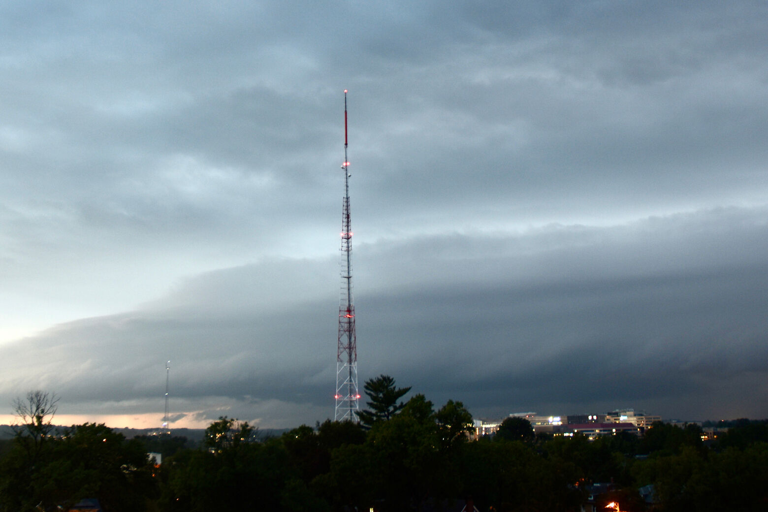
The D.C. region could experience a severe weather system with widespread storms and high winds, including a chance for tornadoes, Thursday.
Morning commuters saw some dense fog, before the skies shifted to sunshine, according to Storm Team4 meteorologist Briana Bermensolo.
She forecasts showers, including thunderstorms, spreading eastward later.
“The ingredients are right today for widespread severe storms this afternoon and evening,” she said.
She said the main threat from storms will be high wind gusts and a chance for tornado development, with activity beginning west of the Blue Ridge Mountains early Thursday afternoon.
The National Weather Service said the main threat will be “damaging wind gusts, but tornadoes cannot be ruled out.”
Stay weather alert this afternoon and evening as scattered to numerous severe storms are expected to move across our area from west to east. The main threat will be damaging wind gusts, but tornadoes cannot be ruled out. For the latest forecast visit https://t.co/t54l4ELo2o pic.twitter.com/UwlivesMBs
— NWS Baltimore-Washington (@NWS_BaltWash) September 3, 2020
“The main trigger for these storms is a strong cold front that is not likely to arrive until sometime around noon on Friday,” said NBC Washington meteorologist Chuck Bell.
He said that makes timing out the storm chances a little tricky and could help to keep the storms going well after sunset.
Pass the word. #WEATHERALERT this afternoon for severe thunderstorms! There will be a few showers near I-81 this morning but it’s the afternoon storm threat that will need to be watched carefully. Severe weather warnings will be sent by push alert through the @NBCWashington app. pic.twitter.com/yEarLN35av
— Chuck Bell (@ChuckBell4) September 3, 2020
September tornadoes are not unheard of, but locally the threat of tornadoes lessens by late summer and early fall.
The D.C. region’s most recent documented September tornado was a whirlwind that blew through Laurel, Maryland, on Sept. 29, 2015.
The National Weather Service determined that numerous fallen trees and some roof damage was the work of a weak EF-0 tornado.
A couple of short-lived tornadoes briefly touched down along Route 234 in Southern Maryland in early September 2011.
Although the Richmond area saw several twisters in September 2018, there haven’t been any confirmed September tornadoes in Northern Virginia since an exceptional severe weather outbreak in 2004.
By nightfall on Sept. 17, 2004, dozens of twisters had touched down, marking Virginia’s largest tornado outbreak in recorded history.
Forecast:
- Thursday: Partly to mostly sunny skies make way for afternoon storms, some strong. A hot and humid day. High temperatures in the upper 80s to lower 90s.
- Overnight: Calming down and clearing skies. Low temperatures in the upper 60s to 70s.
- Friday: A few passing showers to the south. Mostly sunny and hot. High temperatures in the upper 80s to 90.
- Saturday: Warm, very pleasant. Lots of sunshine. High temperatures in the upper 70s to 80.
- Sunday: Mostly sunny skies. Highs in the low 80s.
Current conditions:
Like WTOP on Facebook and follow @WTOP on Twitter to engage in conversation about this article and others.
Get breaking news and daily headlines delivered to your email inbox by signing up here.
© 2020 WTOP. All Rights Reserved. This website is not intended for users located within the European Economic Area.
"severe" - Google News
September 03, 2020 at 07:13PM
https://ift.tt/32UrIos
Severe storms, strong gusts, possible tornadoes across DC area - WTOP
"severe" - Google News
https://ift.tt/2OrY17E
Shoes Man Tutorial
Pos News Update
Meme Update
Korean Entertainment News
Japan News Update
Bagikan Berita Ini


0 Response to "Severe storms, strong gusts, possible tornadoes across DC area - WTOP"
Post a Comment