
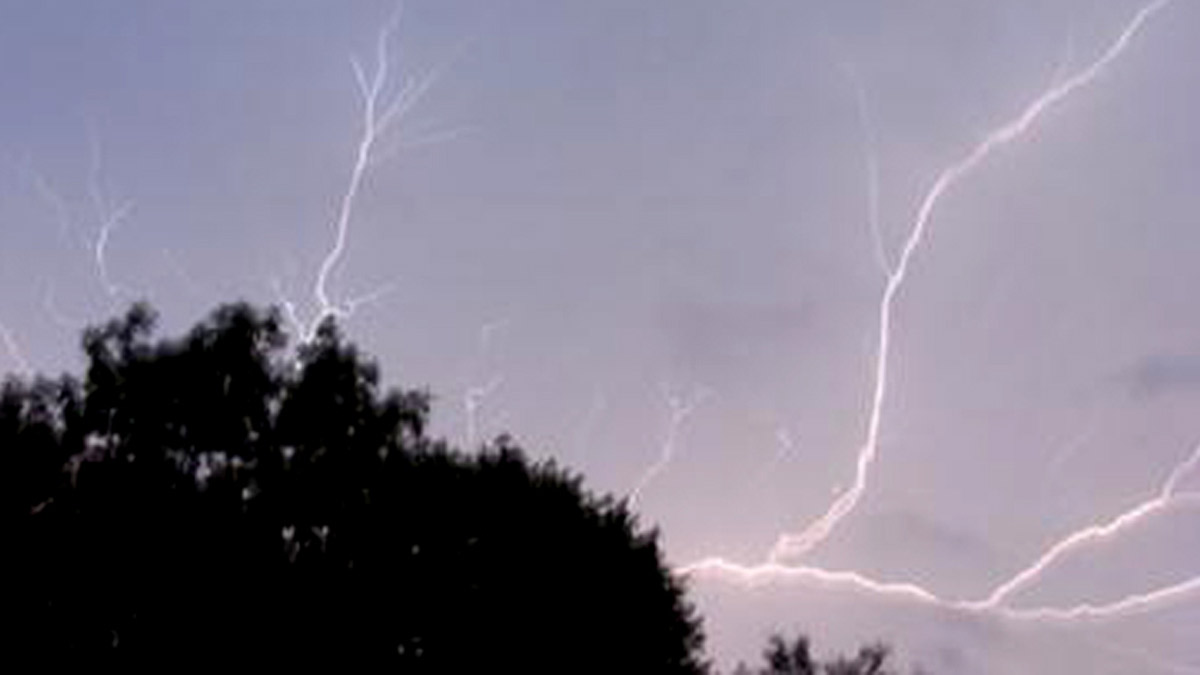
As Illinois and Indiana face a severe weather threat, new severe thunderstorm warnings are being issued Wednesday evening.
One of the warnings has been issued for east-central Will and southeastern Cook counties in Illinois, as well as northern Lake County in Indiana.
That warning will remain in effect until 6:45 p.m.
According to officials, a storm located near Lowell was tracking to the north at 45 miles per hour, packing wind gusts in excess of 60 miles per hour and penny-size hail.
A severe thunderstorm warning has now been issued for parts of Kankakee County, as well as parts of Newton and Lake counties in Indiana, until 6:15 p.m.
According to the National Weather Service, eastern Kankakee County and northeastern Iroquois County are part of the warning, as are northwestern Newton County and southwestern Lake County.
A severe thunderstorm cluster, located near Morocco, Indiana, is moving toward the north at 45 miles per hour along the border of Illinois and Indiana.
Wind gusts in excess of 60 miles per hour are possible with the storms, along with penny-size hail.
One trained weather spotter in Kentland, Indiana reported a wind gust of 73 miles per hour with the storms.
Elsewhere, as of 4:57 p.m., Chicago's Department of Aviation announced that the FAA has instituted a ground stop at O'Hare International Airport due to "incoming weather conditions."
Tornado warnings were issued at different times for parts of Kane, DuPage and Cook counties, but all three had expired by 4:30 p.m.
While Doppler radar indicated rotation within those storms, funnel clouds were observed in DuPage and Cook counties.
It is unclear whether any tornado touch downs had occurred, but none had been reported by the time the warnings expired at 4:30 p.m.
According to NBC Storm Team 5 meteorologists, scattered showers are expected through the morning hours before possibly breaking in the early afternoon.
In the mid-afternoon, more rain and storms are expected to develop, with the potential for some to be strong or severe in some areas. Threats include heavy rain and localized flooding, gusty and damaging winds and the possibility of an isolated tornado.
Some areas may see wind gusts up to 50 or 60 miles per hour, the National Weather Service Says.
According to forecasting models, the potential for severe weather is expected to occur in the late afternoon to mid-evening, between 2 p.m. and 8 p.m.
Through 7 p.m. Wednesday, a Beach Hazard is in effect at Cook County beaches, per the National Weather Service.
"Swimming conditions will be life threatening, especially for inexperienced swimmers," an alert said. "Waves of 3-6 feet expected. Remain out of the water to avoid dangerous swimming conditions and do not venture out onto piers or other shoreline structures."
Rain is expected to fall for most of the day throughout the area, and those showers will continue to linger into Thursday and at least Friday morning.
High temperatures could reach into the 70s on Wednesday, with cooler readings near the lakefront.
A warm-up is likely after that, with dry conditions and highs reaching into the 70s and 80s over most of Memorial Day weekend.
"severe" - Google News
May 26, 2022 at 04:50AM
https://ift.tt/rtcJzQ9
Severe Thunderstorm Warning Issued in Illinois, Indiana After Tornado Warnings Earlier in Day - NBC Chicago
"severe" - Google News
https://ift.tt/7G8Nbrs
Shoes Man Tutorial
Pos News Update
Meme Update
Korean Entertainment News
Japan News Update
Bagikan Berita Ini


0 Response to "Severe Thunderstorm Warning Issued in Illinois, Indiana After Tornado Warnings Earlier in Day - NBC Chicago"
Post a Comment