A new system can route emergency services past disaster-based disruptions to traffic

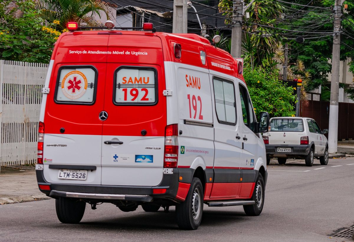
An ambulance in Niterói, Brazil.
Floods, landslides, and other disasters resulting from extreme weather are expected to bedevil cities more often due to climate change. These disasters can often disrupt traffic flows, slowing the deployment of emergency vehicles even as they try to respond to an overwhelming number of calls for aid. Now scientists have designed a way to calculate the fastest routes for emergency services to respond to calls while factoring in such disruptions.
The researchers focused on their country, Brazil. The combination of climate change and unplanned urban growth on steep slopes there has led to floods and landslides that have killed thousands of people over the past decade, they say.
The scientists futher concentrated on Niterói in Brazil, the fifth most populous city in the Rio de Janeiro metropolitan area. In 2010, a landslide there killed 48 people and left thousands without homes. The researchers sought to develop a way to calculate city routes for emergency services to respond to as many calls for help as fast as possible. The new system, dubbed Ironstone, uses software from automotive navigation systems company TomTom to estimate travel times between emergency teams and calls for help. It analyzes real-time traffic data to avoid streets with heavy congestion, and historical data to estimate how much time is needed to respond to a call for help.
“This has the potential to save lives”
“We initiated this project with the sole purpose of monitoring rainfall stations during weather events,” says study co-author Daniel de Oliveira, a computer scientist at Fluminense Federal University in Niterói, Brazil. “However, as we developed the monitoring system, we recognized the potential of using the rainfall data in conjunction with car traffic data to assist experts in responding to issues that arise during weather events.”
In experiments, the scientists had Ironstone examine data from Niterói’s civil defense department. On 10 April, 2019, the city had to respond to 15 events with just three vehicles. They found the route Ironstone calculated to respond to these events would have taken roughly 180 minutes of travel, whereas the route produced by Niterói’s civil defense department experts would have required about 231 minutes.
The work “demonstrates the feasibility of creating optimized routes for emergency vehicles during severe weather events,” de Oliviera says. “This has the potential to save lives and mitigate the impact of such events on the lives of citizens.”
Although this research was designed for Niterói, it “can be customized for other cities with suitable adjustments,” de Oliveira says. “We aspire to adapt our solution for other cities, such as Rio de Janeiro, addressing not only emergency responses to climate-related disasters, but also various routing challenges in urban areas. These could include police vehicle routing or fire department vehicle routing, for instance.”
Future research could help Ironstone account for other factors that affect emergency response time. For instance, numerous streets are prone to flooding during adverse weather conditions, and the system could be trained to steer clear of such streets. “Similarly, certain neighborhoods exhibit high crime rates, which might necessitate avoiding specific routes during route generation,” de Oliveira says.
The scientists detailed their findings 19 September in the journal IEEE Latin America Transactions.
"severe" - Google News
November 10, 2023 at 11:10PM
https://ift.tt/0yaNH4c
Smart Emergency Responses to Severe Weather - IEEE Spectrum
"severe" - Google News
https://ift.tt/FUlC2nV
Shoes Man Tutorial
Pos News Update
Meme Update
Korean Entertainment News
Japan News Update
Bagikan Berita Ini


0 Response to "Smart Emergency Responses to Severe Weather - IEEE Spectrum"
Post a Comment