
A string of extremely hot September weather gave way to severe storms Thursday, leaving most of the D.C. region under a Severe Thunderstorm Watch until 9 p.m. Thursday. Here’s what you need to know.
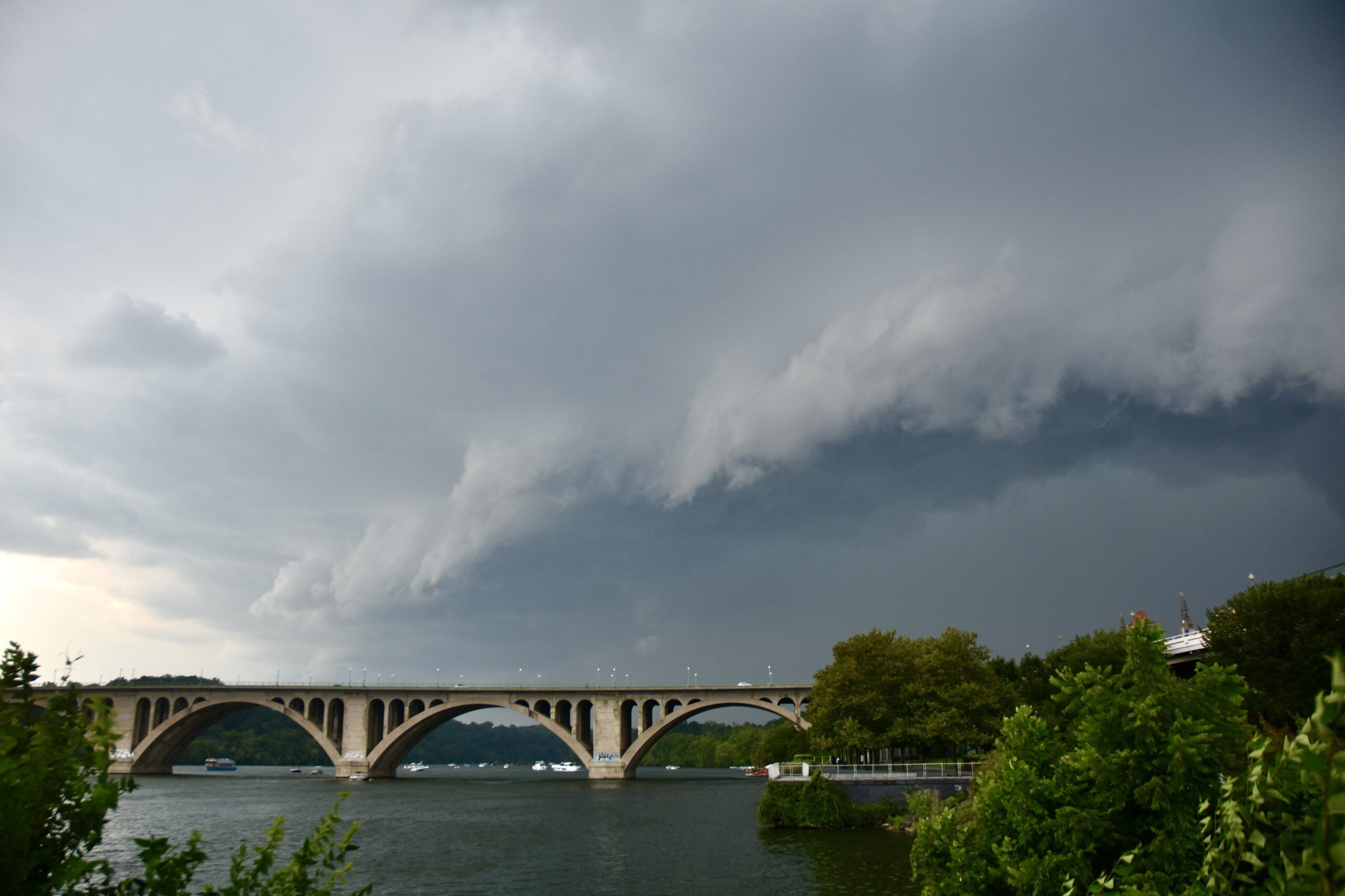
Warnings have been popping up and ending quickly as sporadic storms sweep through the area. The weather service said a strong storm near the American Legion Bridge was moving northeast earlier in the evening at 30 mph with potential 60-mph wind gusts and quarter-size hail.
WTOP meteorologist Howard Bernstein said the passing storms mostly entailed “very heavy rain and potential for 60 mph gusts and hail up to an inch in diameter” as they moved northeast through the area.
Earlier Thursday afternoon, bands of strong storms rolled through parts of Northern Virginia and suburban Maryland bringing heavy winds and hail and triggering warnings from the weather service.
The biggest storm system that dumped two inches of rain in some areas and downed trees in Virginia has mostly moved north to Pennsylvania, but additional storms are still making their way through the D.C. area.
After temperatures once again climbed into the 90s Thursday, temperatures dropped into the 70s in some areas as storm clouds rolled in. “So these 20 degree temperature drops are happening quite rapidly and a few locations with some of the storms passing through,” 7News First Alert Chief Meteorologist Veronica Johnson said.
Current weather
Thursday marked the fifth day of the historic September heat wave, but highs around the area were a degree or two lower than the sizzling days earlier this week, said 7News First Alert meteorologist Eileen Whelan.
Daily record highs were broken at all three D.C.-area airports on Wednesday.
Dulles International Airport reached 100 degrees — the first time ever in the month of September that it has reached triple digits since the National Weather Service started recording temperatures at the airport back in the 1960s.
Temperatures at BWI Marshall and Reagan National airports broke the daily record with a tie at 98 degrees.
Forecast
THURSDAY NIGHT:
Showers and Storms End
Patchy Fog
Lows: 65-72
FRIDAY: HEAT ALERT
Partly Cloudy
Chance PM Showers and Storms
Highs: 91-94
Heat Index: 95-100
SATURDAY:
Mostly to Partly Cloudy
Isolated PM T-Storms
Highs: 85-88
SUNDAY:
Partly Cloudy
Scattered PM T-Storms
Highs: 82-86
Get breaking news and daily headlines delivered to your email inbox by signing up here.
© 2023 WTOP. All Rights Reserved. This website is not intended for users located within the European Economic Area.
"severe" - Google News
September 08, 2023 at 03:37AM
https://ift.tt/weuo4Vb
Storms roll through with most of DC region still under Severe Thunderstorm Watch - WTOP
"severe" - Google News
https://ift.tt/KSgvbRj
Shoes Man Tutorial
Pos News Update
Meme Update
Korean Entertainment News
Japan News Update
Bagikan Berita Ini


0 Response to "Storms roll through with most of DC region still under Severe Thunderstorm Watch - WTOP"
Post a Comment